
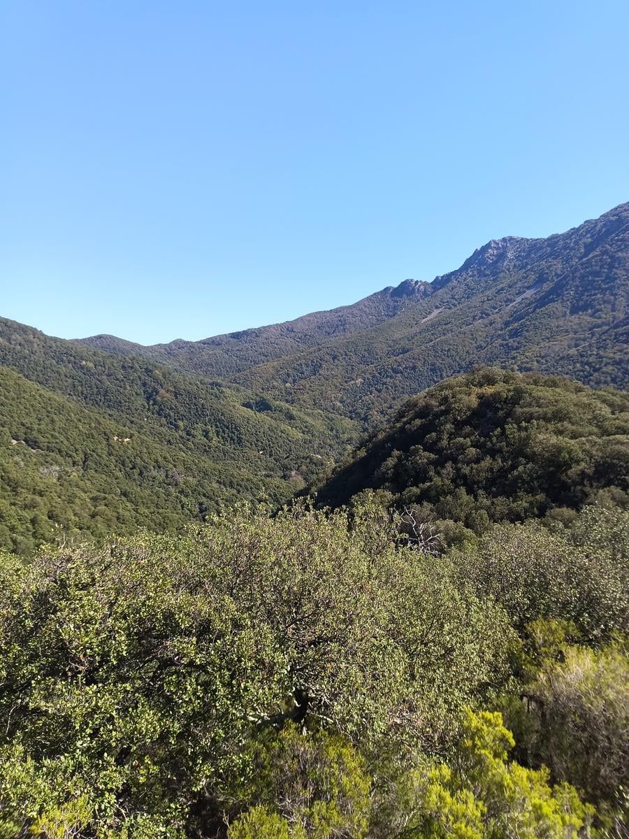
More time in the woods · Up to 4 hours · 5 walks
To the viewpoint at the col
Coll Sa-riera
- Time
- 1 h 35 min to 2 h 25 min
- Distance
- 3.2 km
- Ascent
- 150 m approx.
An hour and a half to a good two hours, leaving the campsite and finishing at a col with a view. You climb to the top of El Fitó, pass the Castanyer gros and cross the riera del Teix, which forms a small waterfall when there is water in it. Just before the col there is a fountain. At the top, on the Coll Sa-riera at about 980 m, you turn around and come back the same way. It is uphill nearly all the way out and downhill nearly all the way back. You are back in time for lunch at the campsite.
Along the way
The numbers match the map.
Nova Forest
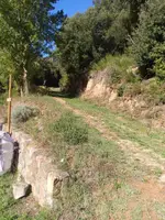
Head out through the gate above the pool, the one that leads up toward El Fitó.
El Fitó
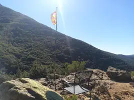
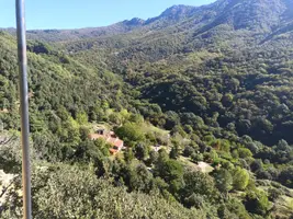
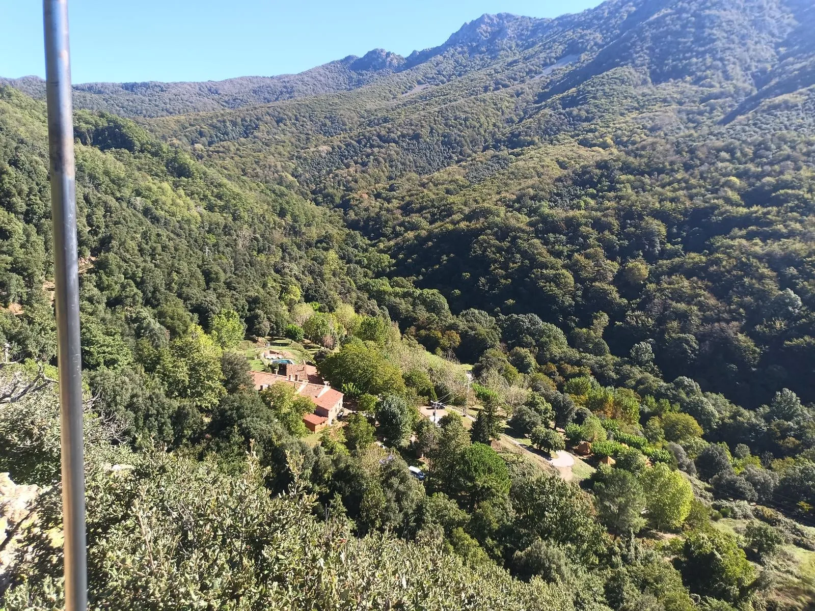
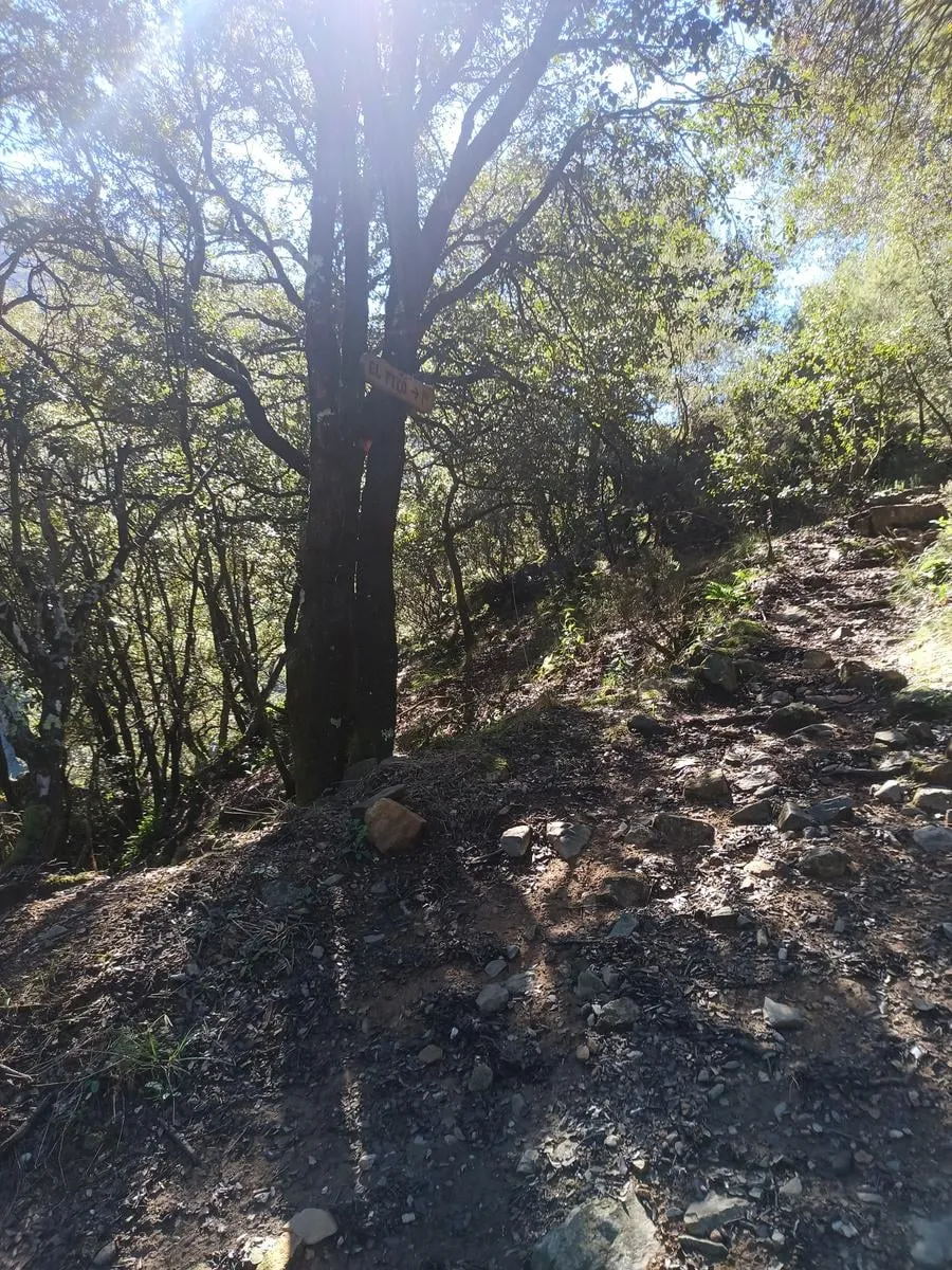
A sign points to the top of El Fitó, which looks out over the valley. You go up and come back down the same path, about 80 m each way.
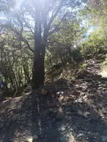
Castanyer gros
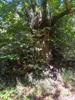
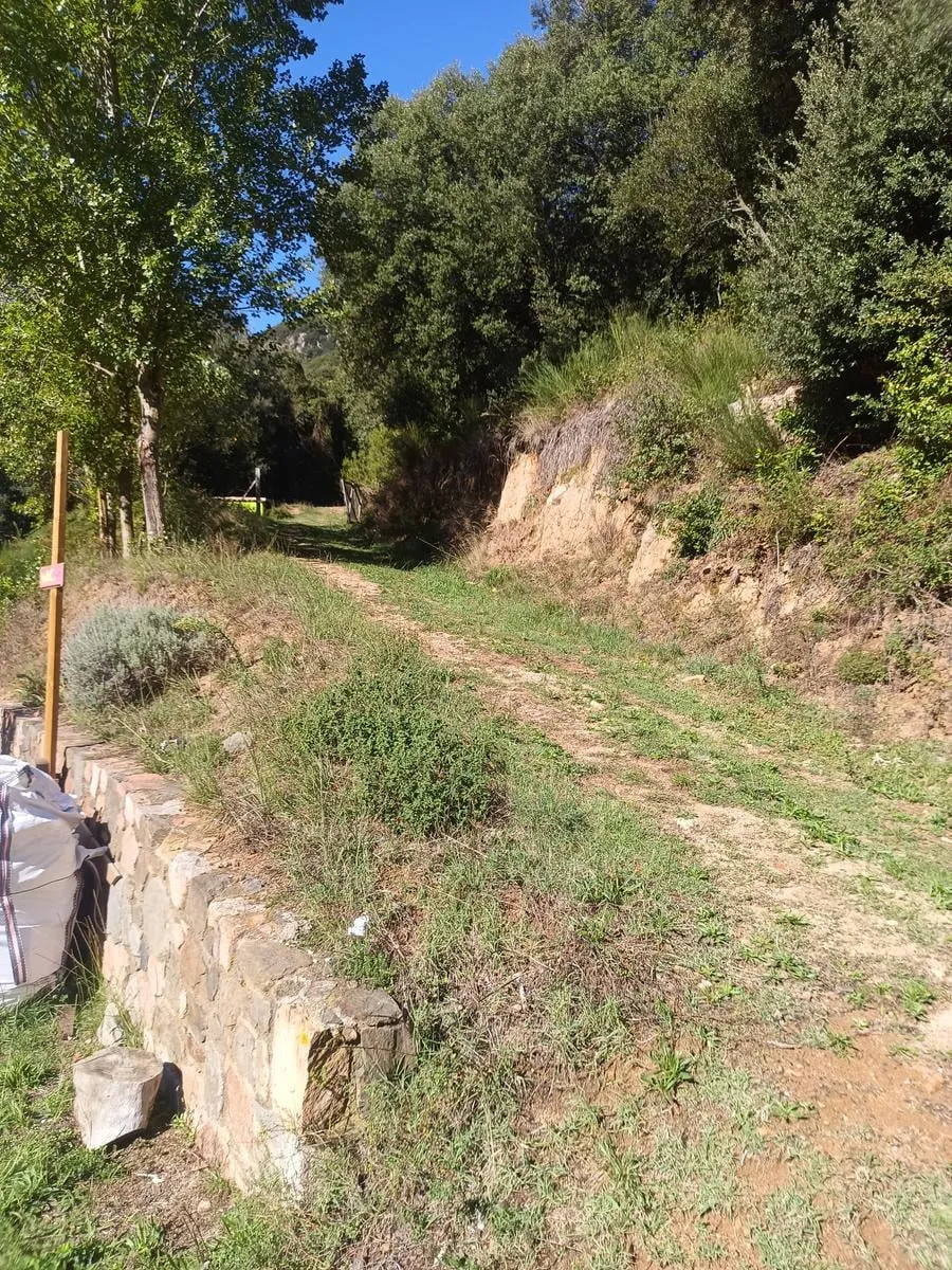
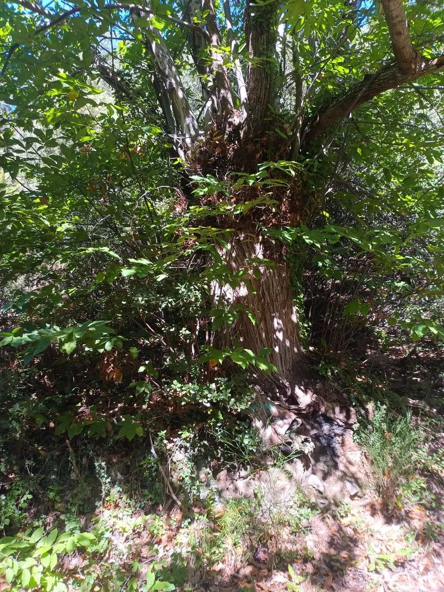
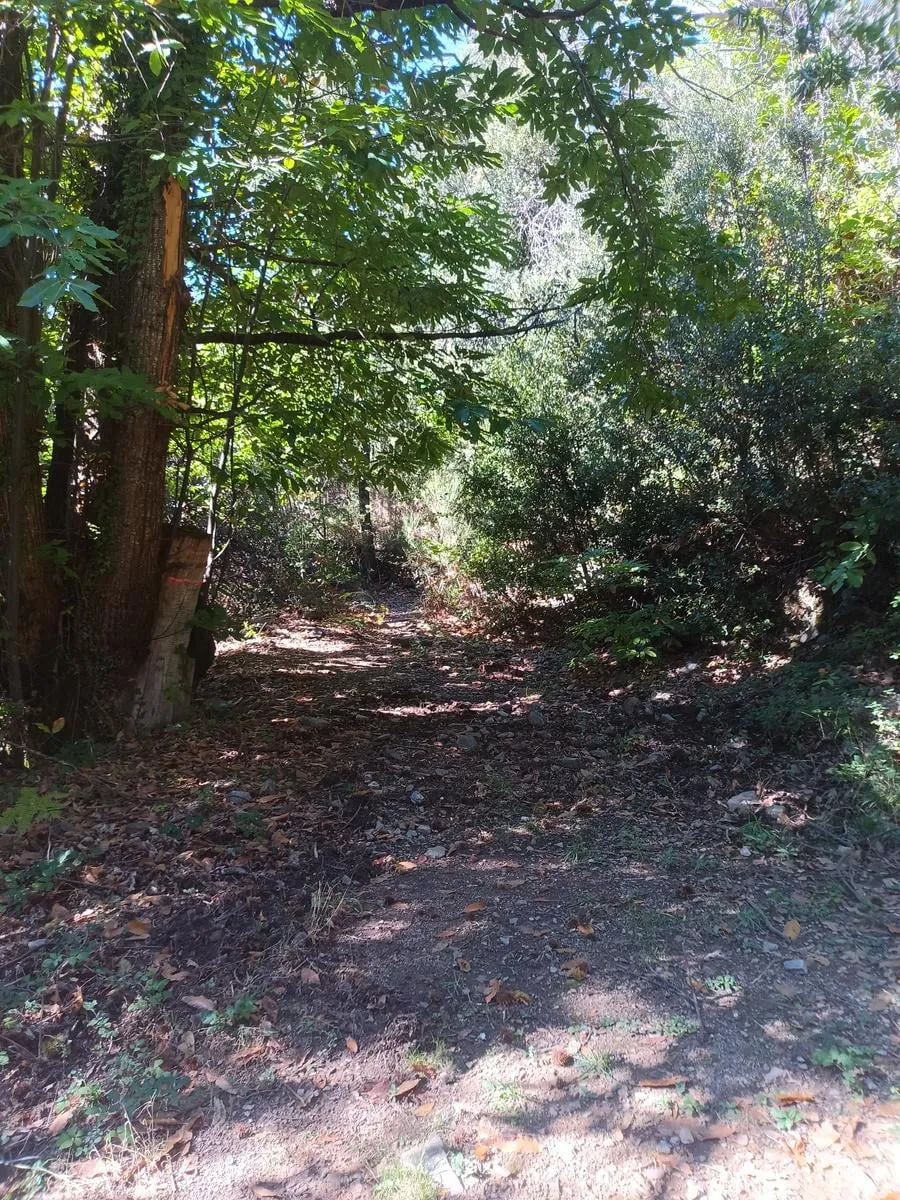
About 90 meters before it, the path leaves the dirt track and the old chestnuts begin. Among them is the Castanyer gros, the big chestnut.
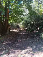
Desviament de Matagalls
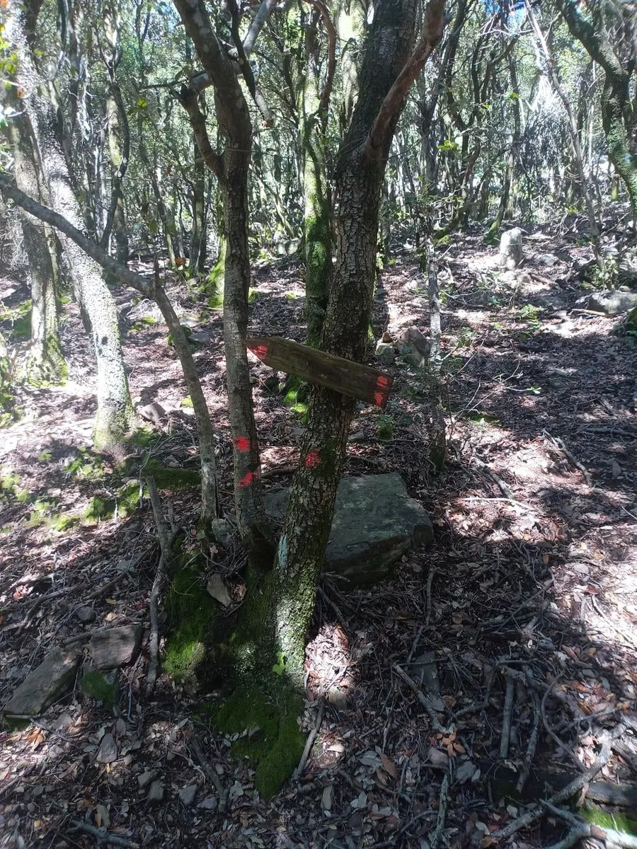
Junction: the path up to Matagalls starts here. Keep going toward the riera del Teix.
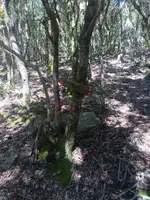
Riera del Teix
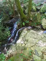
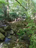
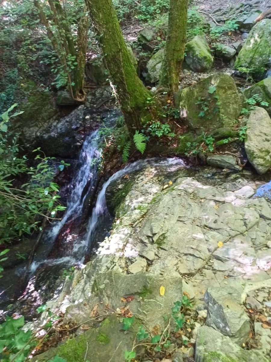
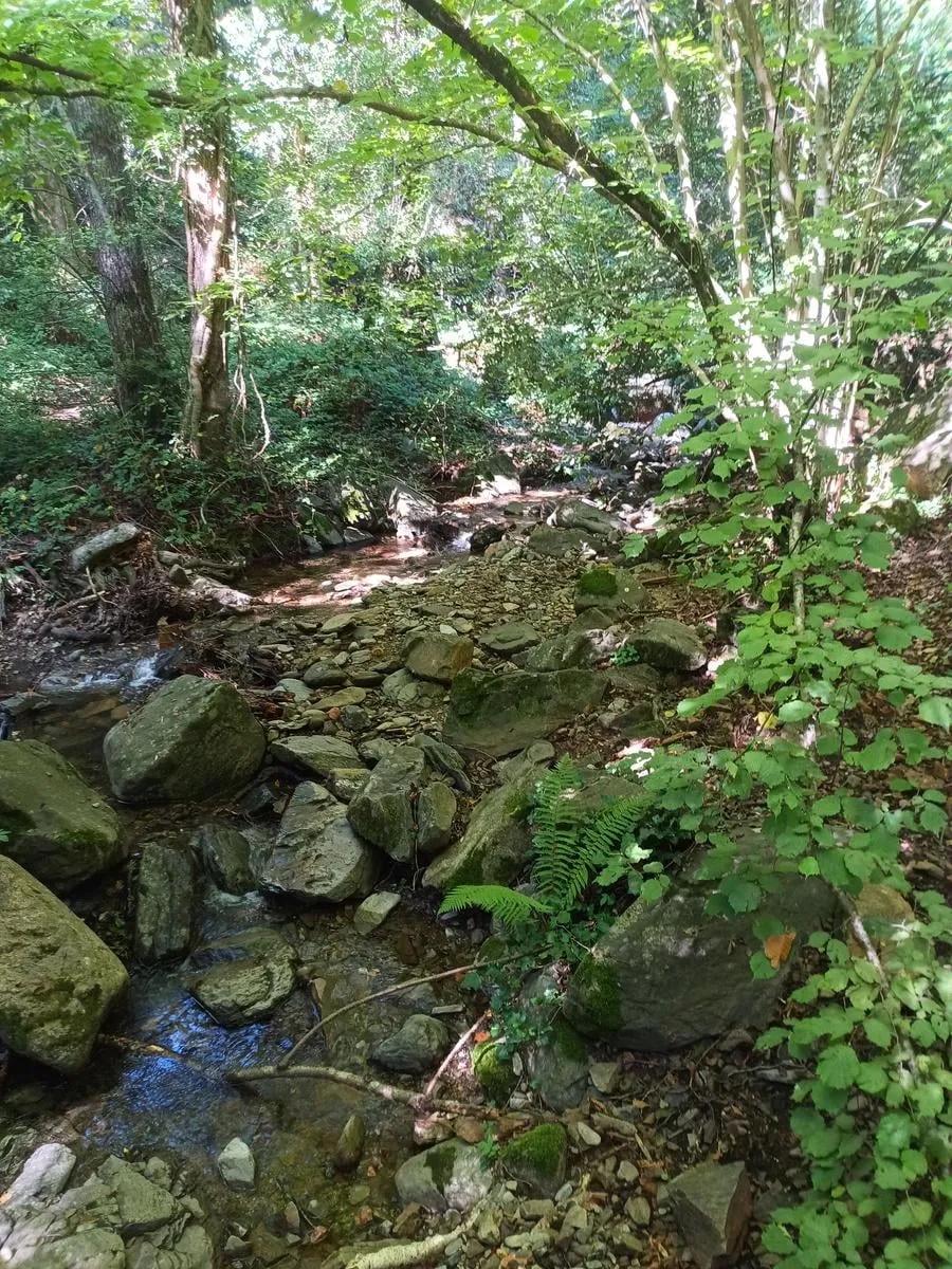
You cross the riera del Teix, which comes down between rocks here and, when there is water in it, forms a small waterfall.
Font del coll
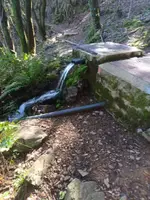
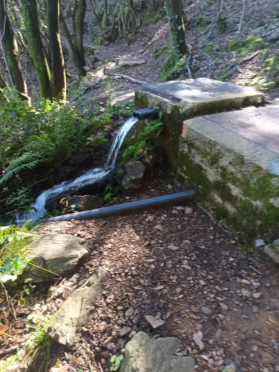
A fountain beside the path, just before the col.
Coll Sa-riera
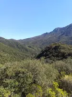
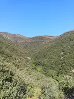
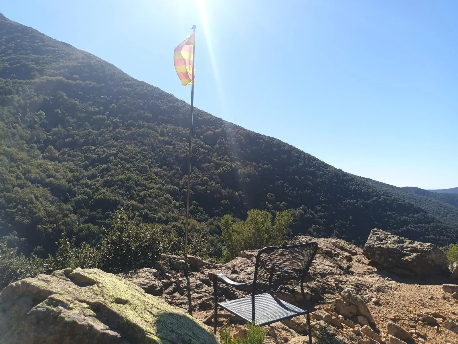
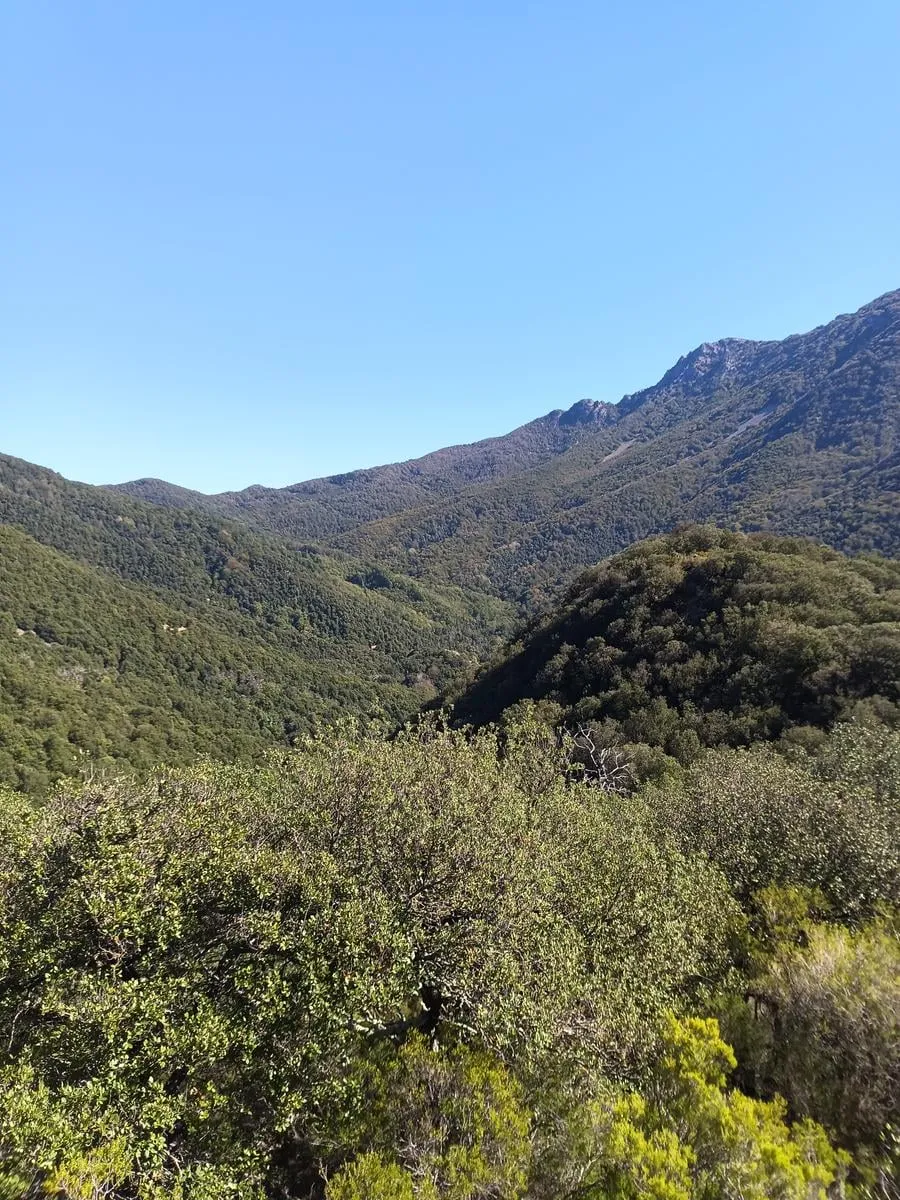
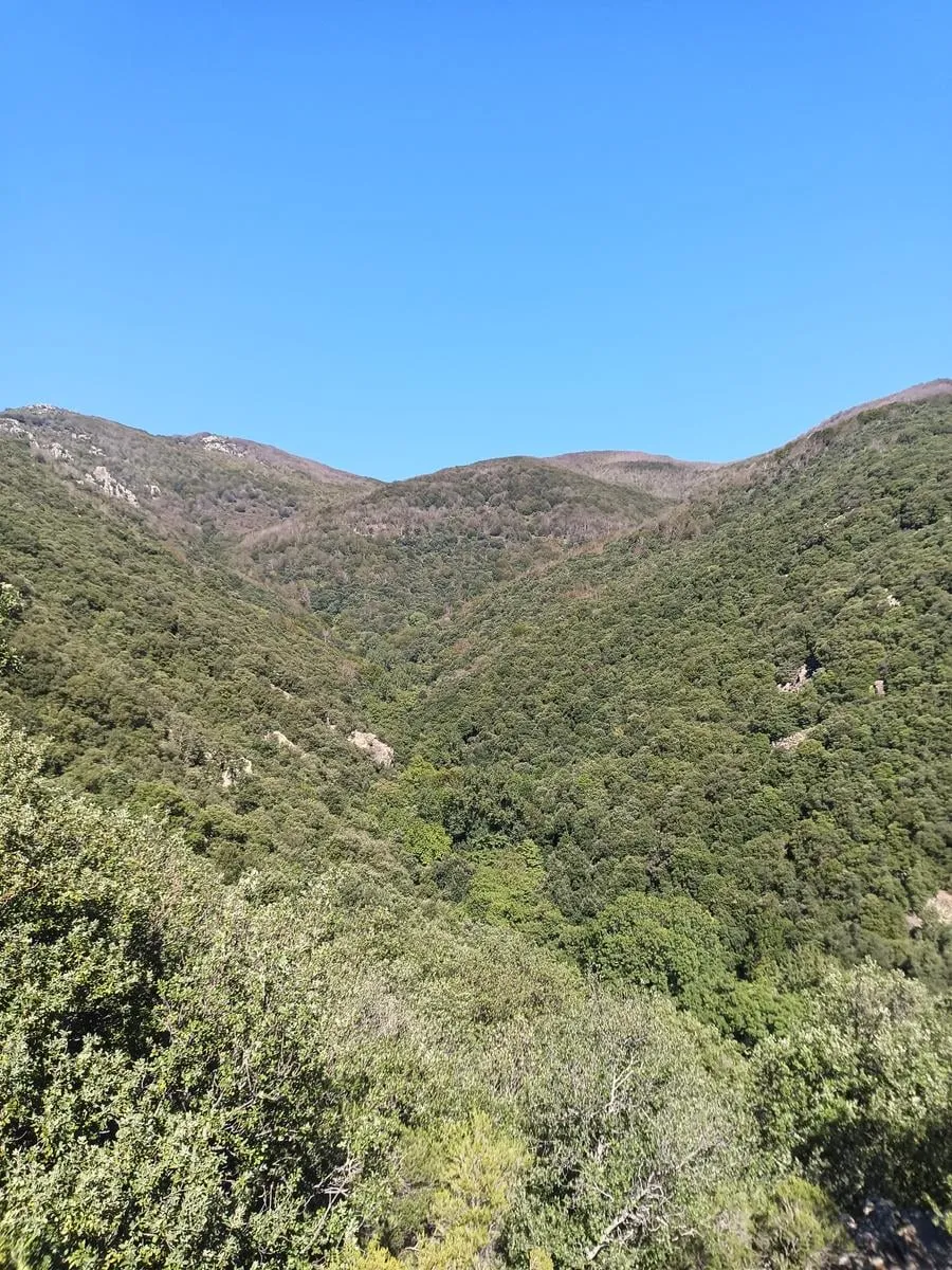
The highest point of the walk, at about 980 m, looking out over the Montseny mountains. Turn around here and go back the way you came.
The practical bit
- Water
- A fountain beside the path at 1.5 km, just before the col where you turn around.
- Dogs
- On a leash. There is livestock loose, wildlife that nests on the ground and small children on the path.
- Parking
- Not needed. You walk out from the campsite.
These are the routes that start at the campsite. You walk them at your own risk: check the forecast before you set off, carry water, and there is no shame in turning back.
Emergencies: 112