
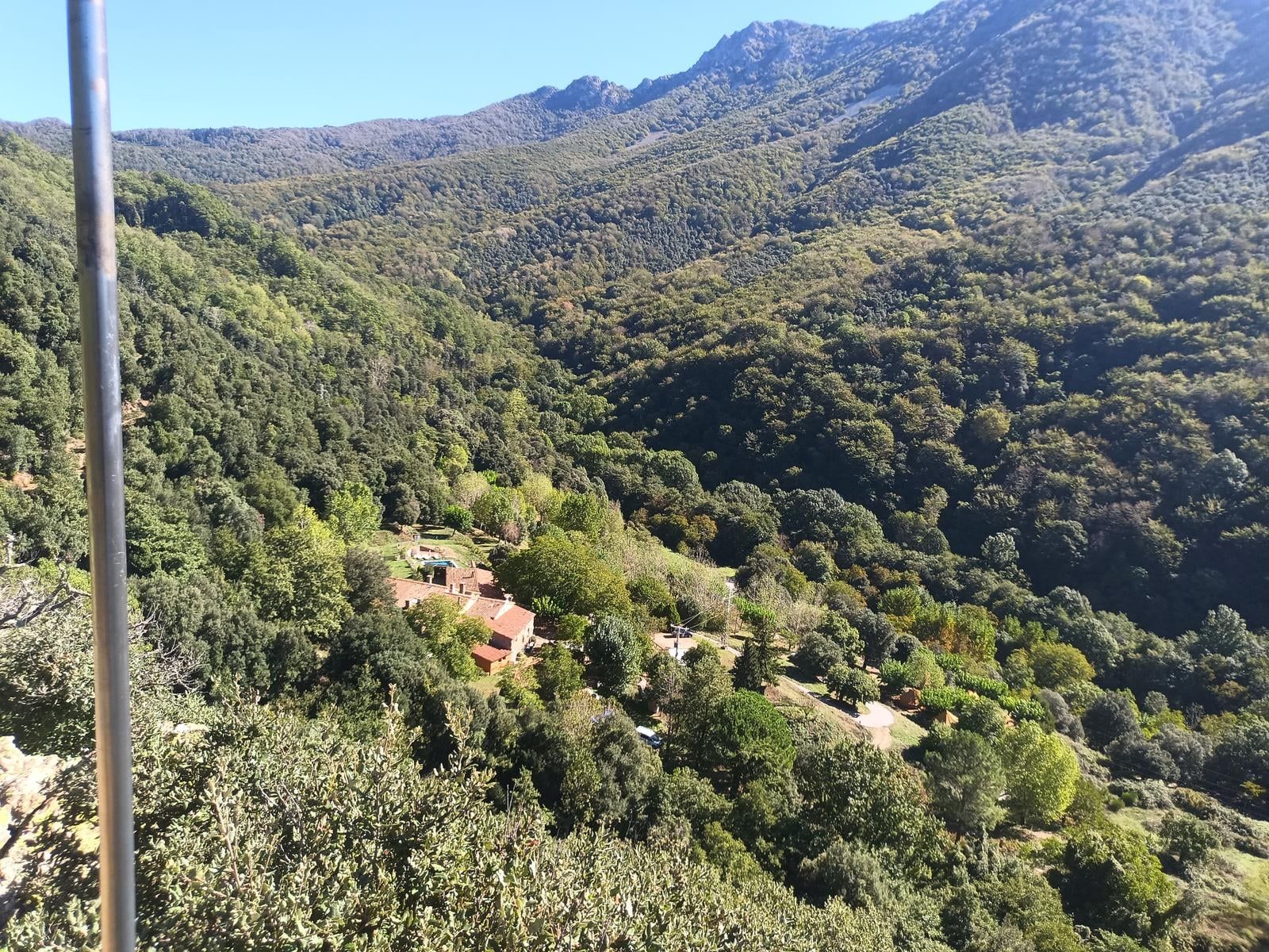
A full day · Up to 8 hours · 2 walks
The magic of the Montseny
Matagalls i Sant Marçal
- Time
- 5 h 15 min to 8 h
- Distance
- 13.6 km
- Ascent
- 900 m approx.
Five and a quarter to eight hours, no car needed: you climb from the campsite to the summit of Matagalls, 1,697 m up, and come down by Sant Marçal. You pass El Fitó and the Castanyer gros, and at the Desviament de Matagalls you take a mountain path that climbs through the forest: about 550 m of climbing in just over two kilometers, among beech trees and across two boulder fields. Higher up you follow the GR 5.2 over the Coll Sesportadores, the Coll Pregon and the Collet de l’Home Mort to the summit, with its cross and its meadows. You come down the GR to the Coll de Sant Marçal, with the Taula dels Tres Bisbes, stop by the Romanesque church of Sant Marçal and walk back to the campsite past the Font Bona and down the concrete track. The hard climb is the path; after that, the GR climbs gently. A beech wood, the summit of Matagalls and a church almost a thousand years old in nearly fourteen kilometers.
Along the way
The numbers match the map.
Nova Forest
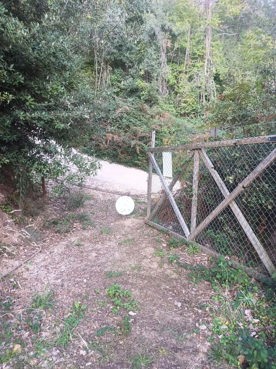
Head out through the gate above the pool, the one that leads up toward El Fitó.
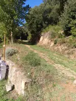
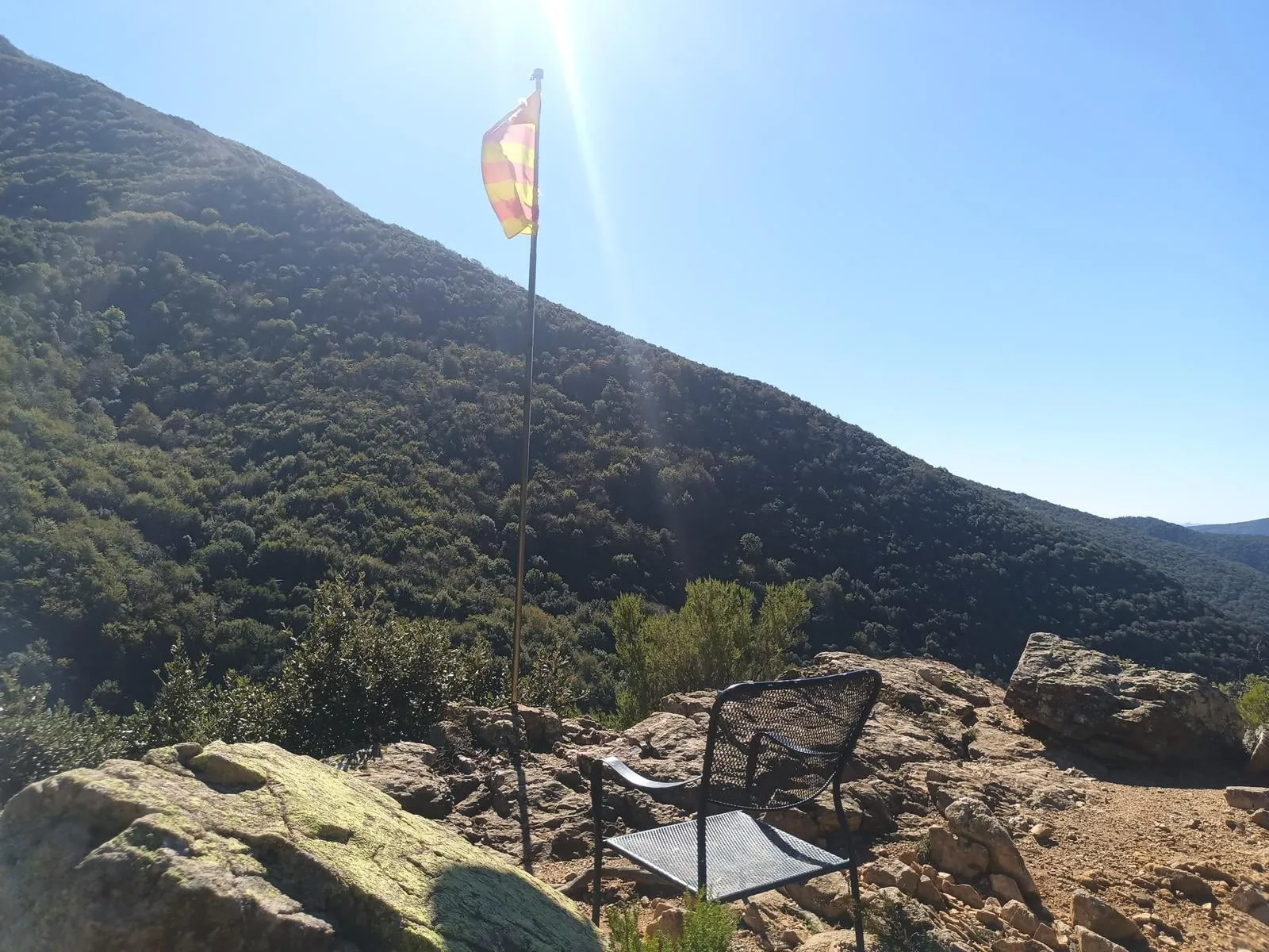
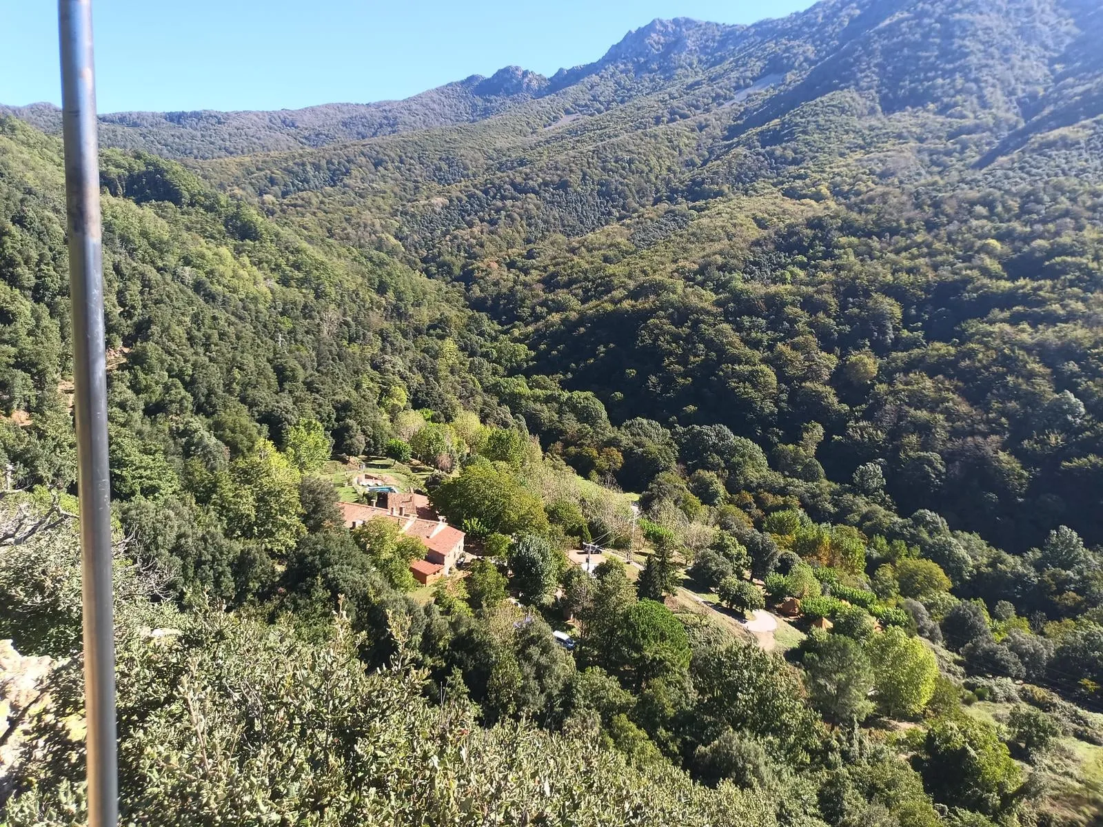
El Fitó
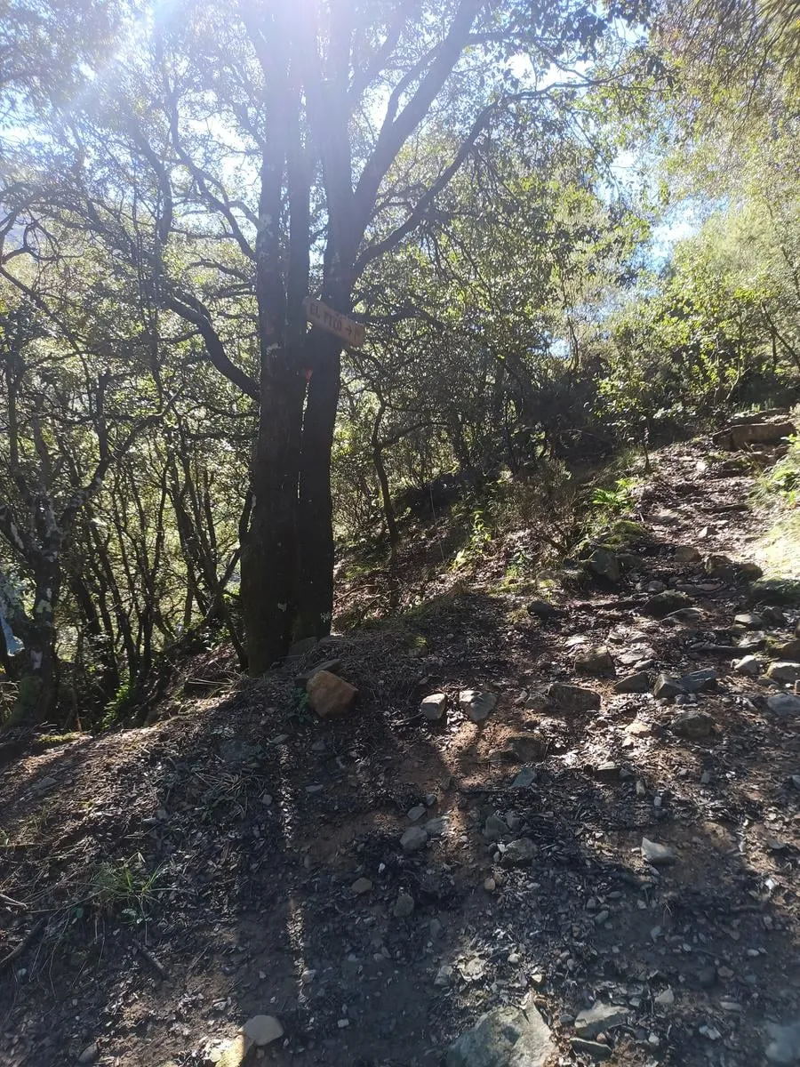
A sign points to the top of El Fitó, which looks out over the valley. You go up and come back down the same path, about 80 m each way.
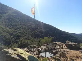
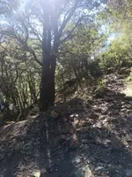
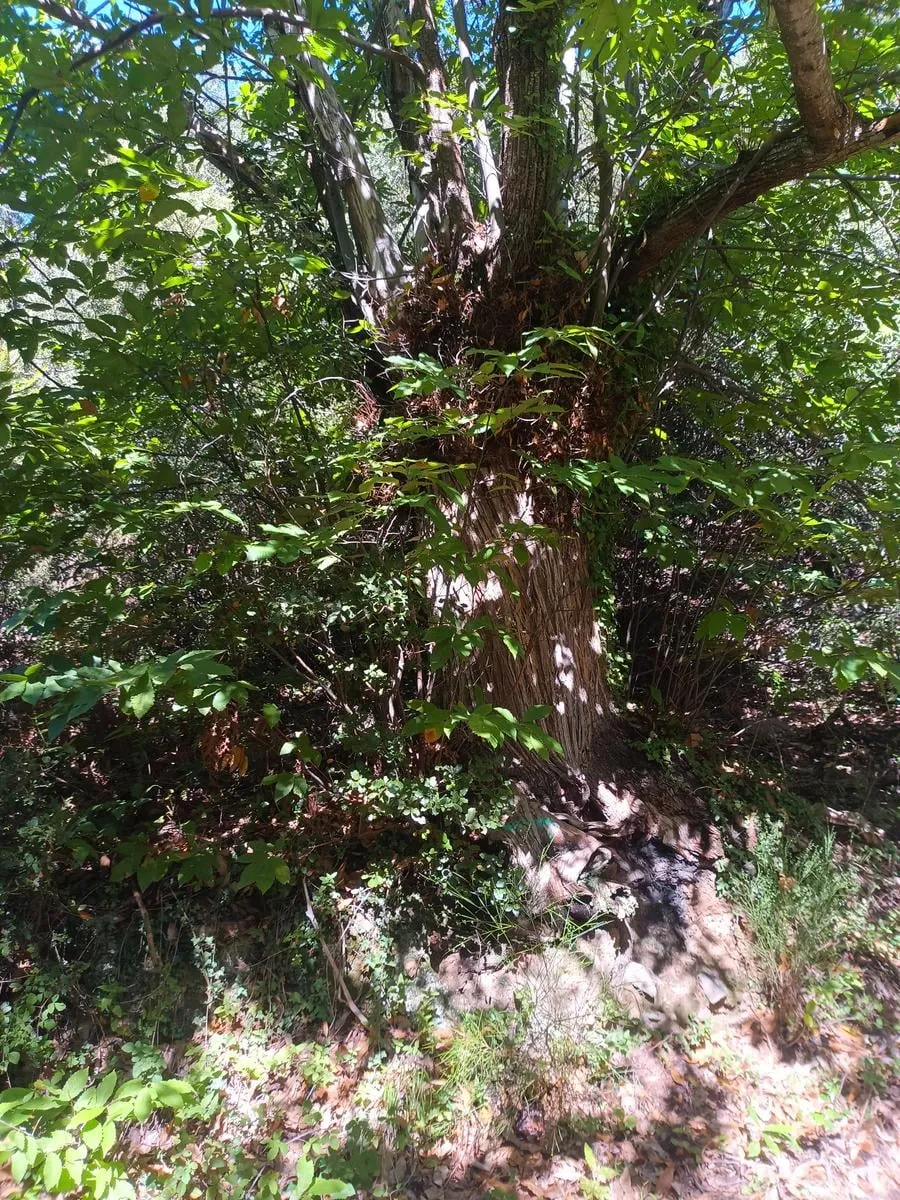
Castanyer gros
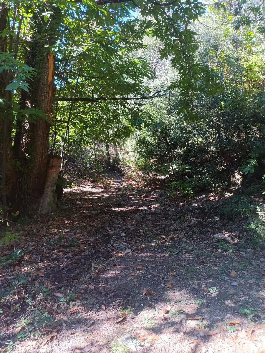
About 90 meters before it, the path leaves the dirt track and the old chestnuts begin. Among them is the Castanyer gros, the big chestnut.
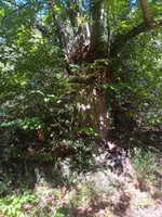
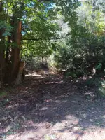
Desviament de Matagalls
Junction: here you take the path that climbs to Matagalls. The steep climb starts here, on a mountain path.
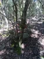
Fageda
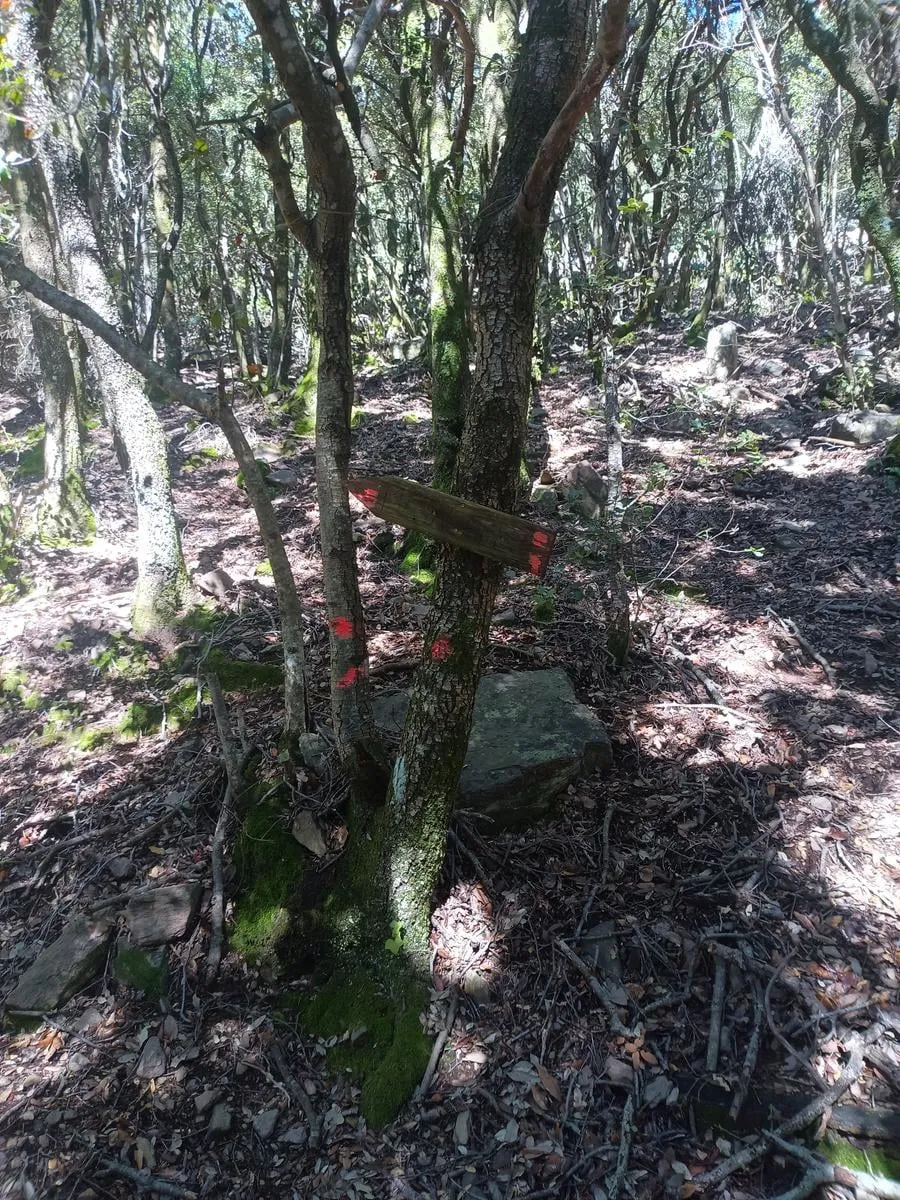
You enter the fageda, a beech wood. Higher up the path crosses two boulder fields of loose rock: watch your step.
Cruïlla del GR 5.2
You reach the GR 5.2, waymarked white and red, and follow it uphill toward the summit. You will pass here again on the way back.
Coll Sesportadores
A saddle on the GR, at about 1,480 m.
Coll Pregon
Another saddle, at about 1,530 m. Higher up the forest ends and the scrub and meadows of the summit begin.
Collet de l’Home Mort
A small saddle at about 1,640 m, out of the forest now, among low junipers.
Matagalls
The summit, at 1,697 m, with its cross and open meadows. From here you go back down the same GR 5.2 you came up.
Cruïlla del GR 5.2
Back at the junction you came up by. Don’t go down the path: stay on the GR 5.2 toward Sant Marçal.
Pla dels Évols
A level stretch on the way down the GR 5.2, among beech trees.
Taula dels Tres Bisbes
On the Coll de Sant Marçal, a stone table where, by tradition, three bishops met, each seated in his own diocese.
Sant Marçal de Montseny
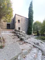
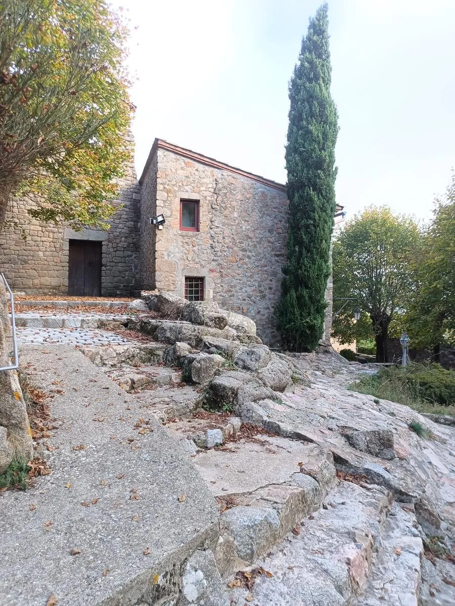
The Romanesque church of Sant Marçal, from the 11th century, once a Benedictine monastery. The Font de Sant Marçal is beside it. Turn around here and head down to the Font Bona.
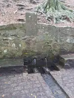
Font Bona
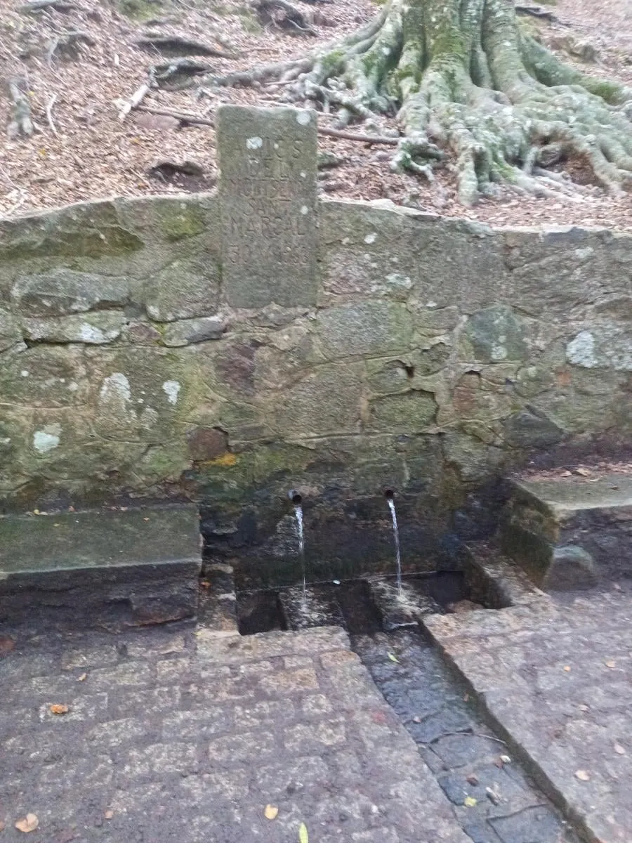
A two-spout fountain set in a stone wall. From here you walk down to the campsite on the concrete Sant Marçal track.
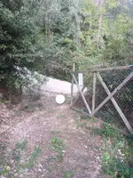
Entrada del càmping
You come back into the campsite through this entrance.
The practical bit
- Water
- Carry water for the whole climb. Beside the church of Sant Marçal, at 10.4 km, is the Font de Sant Marçal, which does not always run, and the Font Bona is at 10.7 km.
- Surface
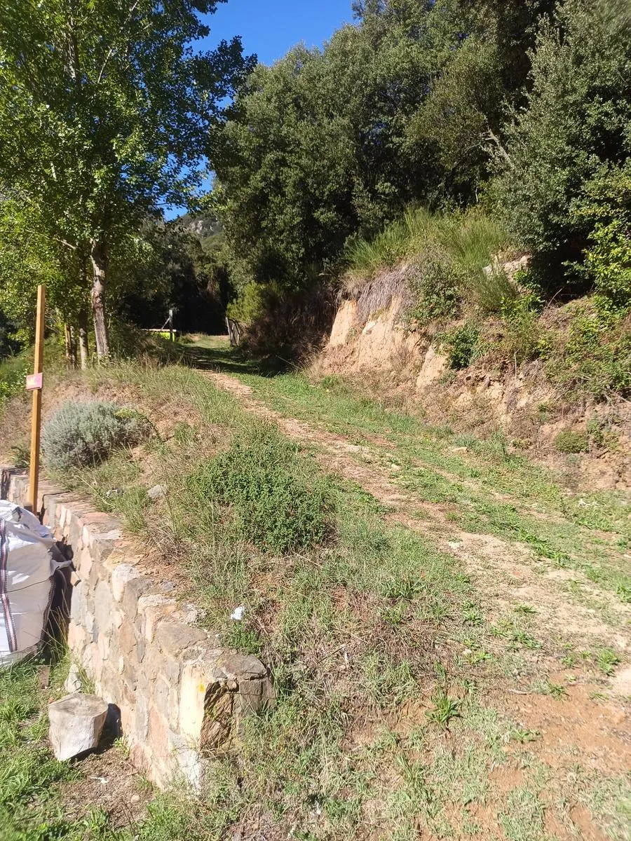
- Path and dirt track to the Desviament de Matagalls, at 1.2 km; then a steep mountain path across two boulder fields of loose rock, and the GR 5.2 path to the summit and back down to the Coll de Sant Marçal. From the Font Bona to the campsite, concrete track.
- Waymarking
- White and red GR 5.2 waymarks from the junction, at 3.4 km, to the summit, at 5.9 km, and back down to the Coll de Sant Marçal, at 10.2 km.
- Dogs
- On a leash. There is livestock loose, wildlife that nests on the ground and small children on the path.
- Parking
- Not needed. You walk out from the campsite.
These are the routes that start at the campsite. You walk them at your own risk: check the forecast before you set off, carry water, and there is no shame in turning back.
Emergencies: 112