
A little time in the woods · Up to 2 hours · 4 walks
The walk to the power dam
La presa de Les Illes
- Time
- 45 min to 1 h
- Distance
- 2.7 km
- Ascent
- 200 m approx.
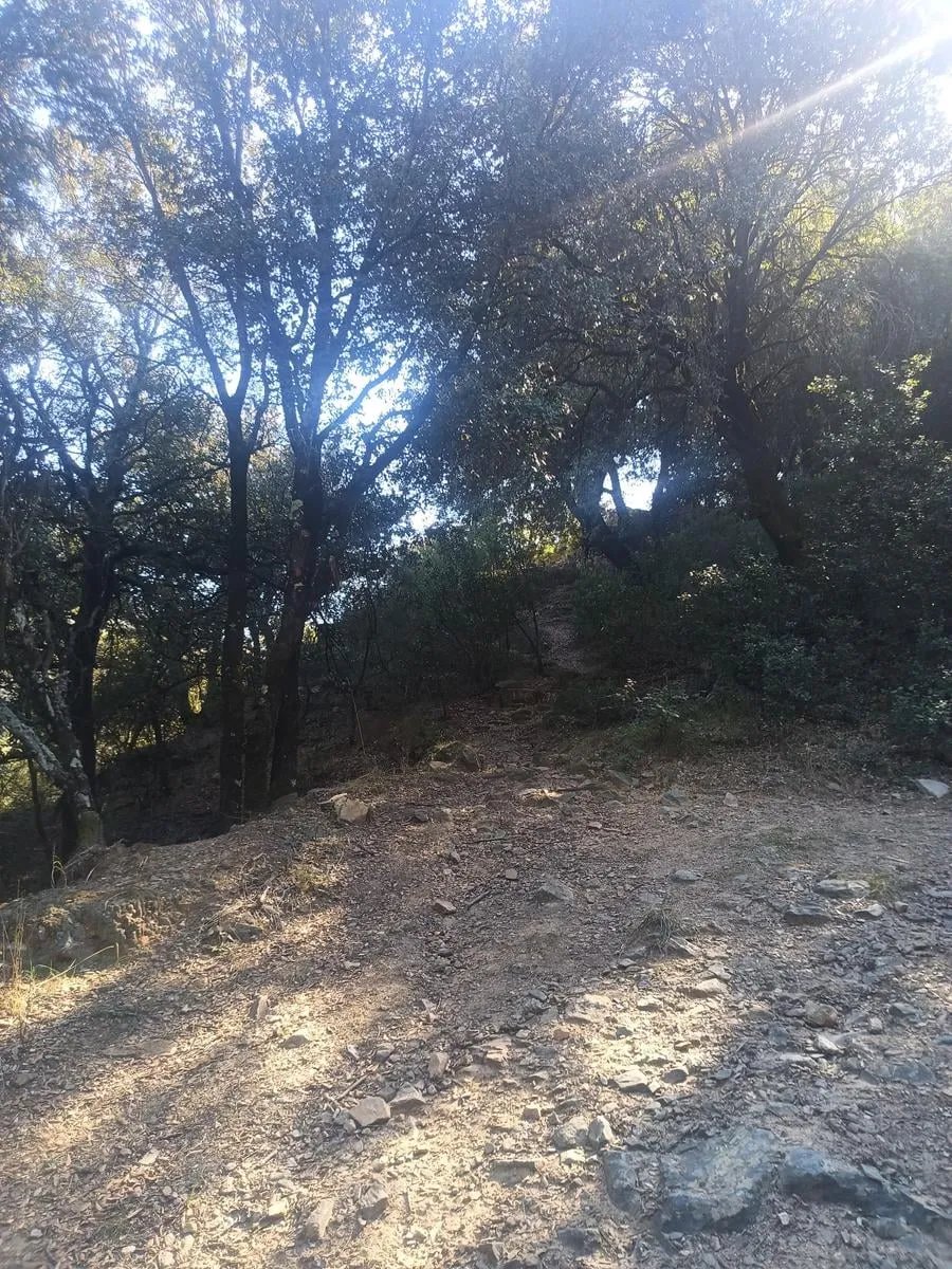
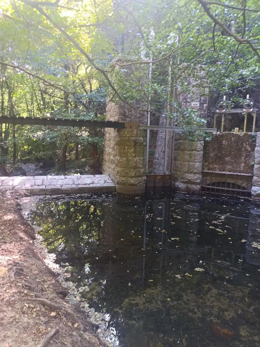
No car needed: you walk to the dam that first lit up the village of Montseny, then come back the same way. You leave through the gate above the pool and climb to the top of El Fitó. Then you pass the Castanyer de les Illes. From there you head down through the woods to the dam at Les Illes, where the riera del Teix joins the Tordera. Its water drove the power plant that made it happen, in 1951. A little further on is the Font de les Nàiades, next to one of the campsite entrances, and that is where you turn around. There are two climbs. The first is short and steep, up to El Fitó. The second is longer and comes on the way back: about 130 meters up from the dam to the top of the path. A summit, a dam, and a fountain in under three kilometers, and you finish right where you started.
Along the way
The numbers match the map.
Nova Forest
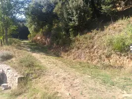
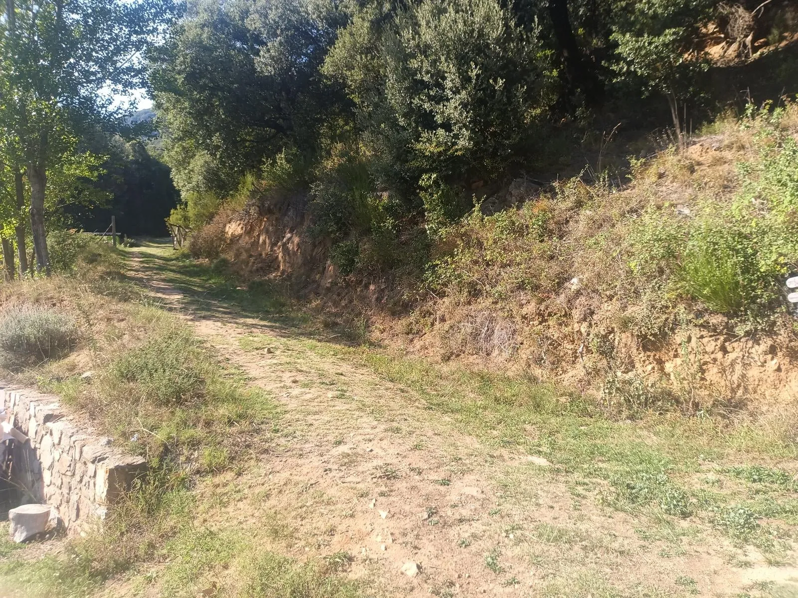
Head out through the gate above the pool, the one that leads up toward El Fitó.
El Fitó
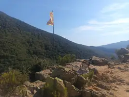
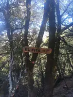
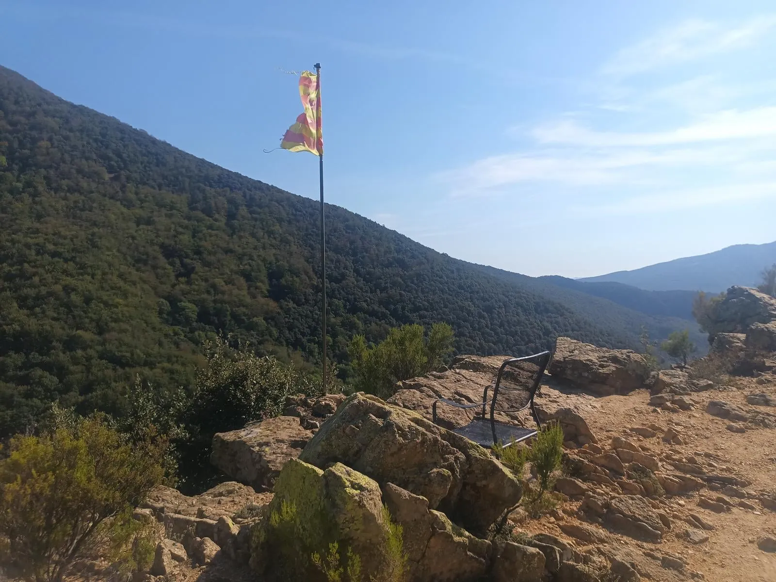
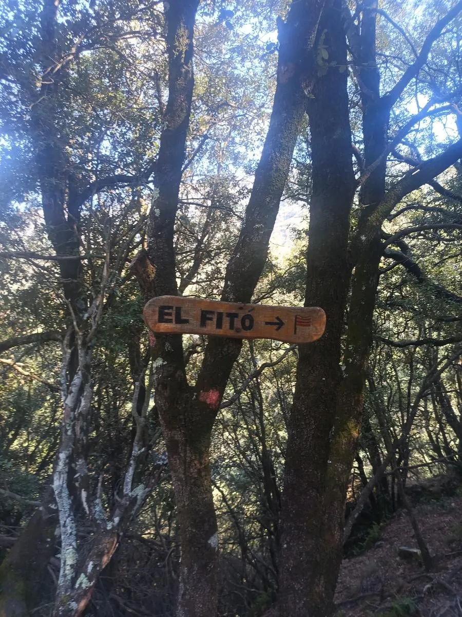
A sign points to the top of El Fitó, which looks out over the valley. You go up and come back down the same path, about 80 m each way.
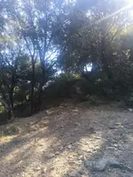
Cruïlla de Sant Bernat
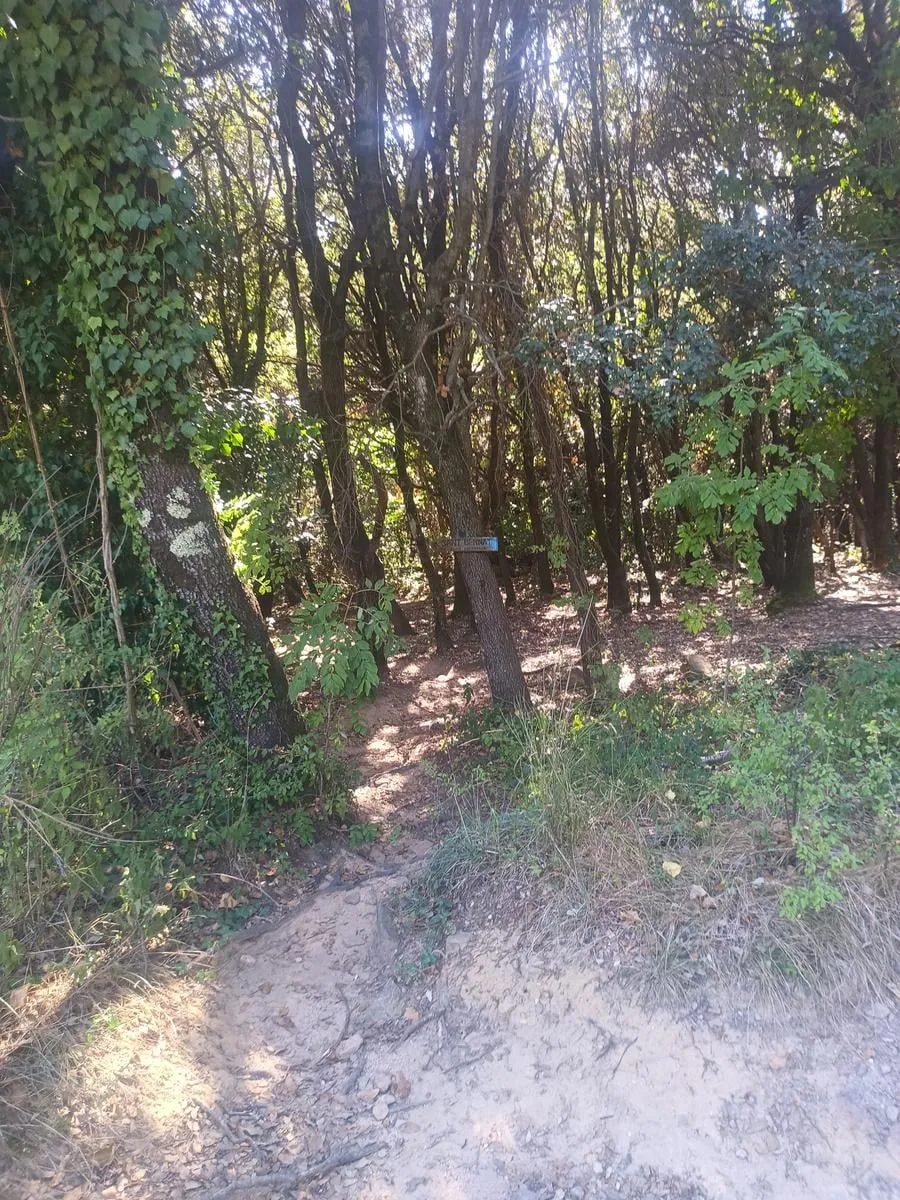
Junction with the path to Sant Bernat via the Roca Escanyada. Turn left here.
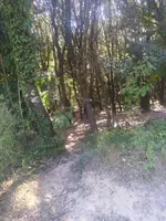
Castanyer de les Illes
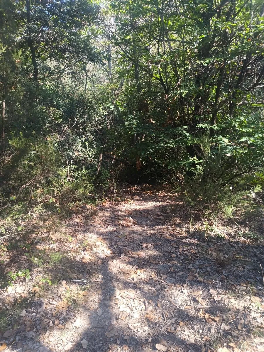
You pass the Castanyer de les Illes, which people call the thousand-year-old chestnut.
Desviament de la presa
Junction: turn left here onto the path down to the dam.
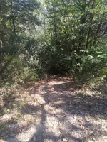
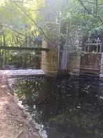
Embassament de les Illes
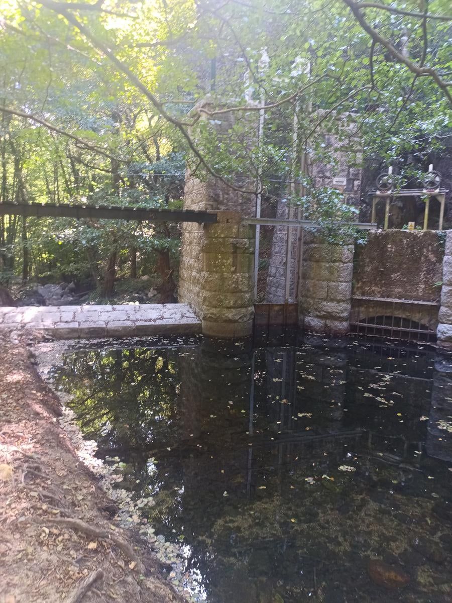
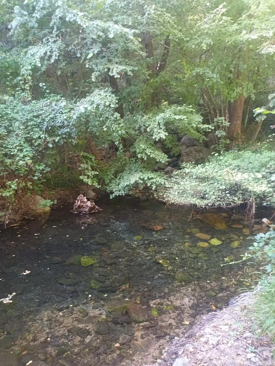
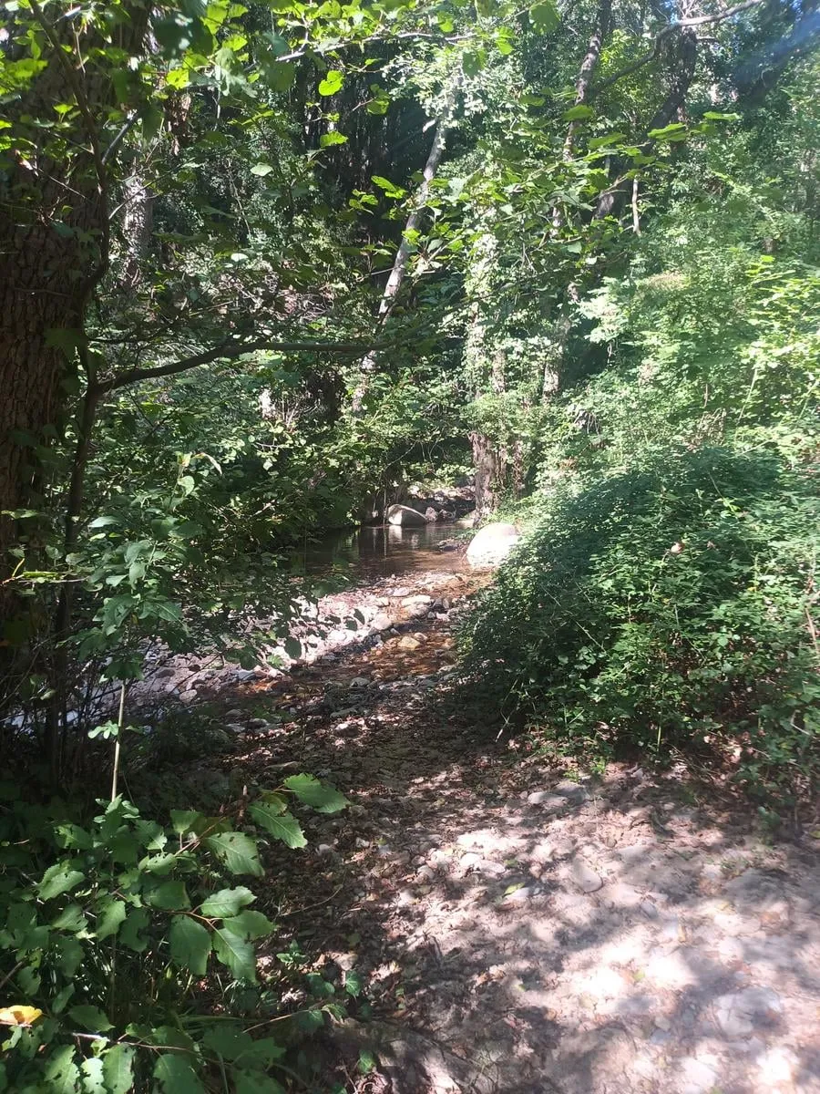
The dam of a small reservoir, where the riera del Teix meets the riera de Sant Marçal, the first stretch of the Tordera. A canal carried its water to the Can Riera Moliner power plant, which brought the village of Montseny its first electricity in 1951.
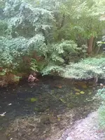
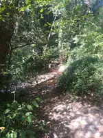
Font de les Nàiades
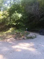
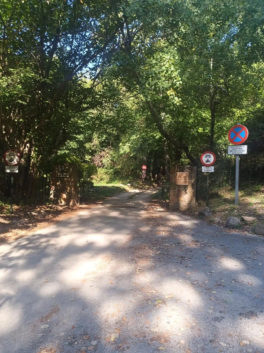
The fountain, next to one of the campsite entrances. Turn around here and go back the way you came.
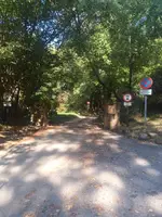
The practical bit
- Water
- The Font de les Nàiades, at 1.4 km, next to one of the campsite entrances.
- Dogs
- On a leash. There is livestock loose, wildlife that nests on the ground and small children on the path.
- Bail-out points
- There is a campsite entrance at the Font de les Nàiades, at 1.4 km. If you would rather not go back the way you came, you can walk in there.
- Parking
- Not needed. You walk out from the campsite.
These are the routes that start at the campsite. You walk them at your own risk: check the forecast before you set off, carry water, and there is no shame in turning back.
Emergencies: 112